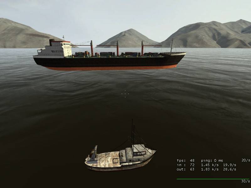
The mountains are realistic yes, in fact they are taken from Washinton
state using real digital elevation data, so no surprise there. I did a
lot of research mysefl to get there, but once you know how is very easy.
It consist in processing a half million triangles model (cutting all
things that you don't need), then convert it to 5000 triangles, and
finally make a normal map comparing between the two models. I'm using a
1024x1024 texture, imagine what level of detail you can get using x2 or
x3 amount triangles and 2048 texture. I want to try that in another
map, one that isn't so big and open.
I wrote a tutorial for all the community here (in second page I explain that):
http://interlopers.net/forum/viewtopic.php?t=4597
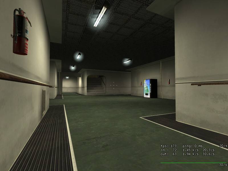
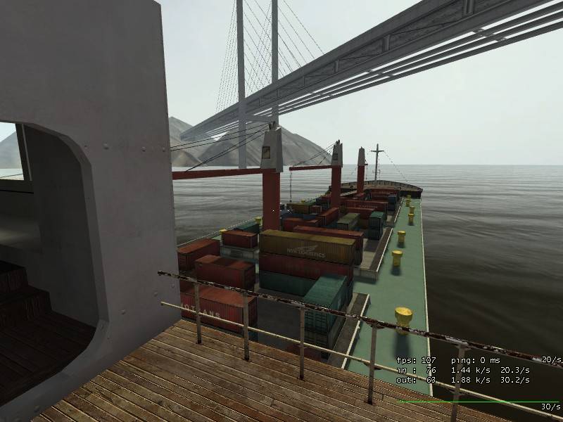
About the ship, don't want to make a clean ship, and in fact now isn't
very clean I think. Accommodation zone could fit with a lot of pictures
I saw (except isn't so narrow like real ships), other areas won't be so
clean of course. It depends on ship's age also, a 20 years old ship
doesn't look the same that another younger. My main preocupation is
giving it coherence, so one zone doesn't like a 40 years old ship, and
another looks like just made.